Sunday, May 5, 2013

Moab, Utah Day 3, Canyonlands National Park

Canyonlands National Park

Shafer Canyon Overlook 

Shafer Trail 

 Mesa Arch Trail

 Mesa Arch Trail

 Mesa Arch

 looking through the arch to the formations below

 Mesa Arch from the end looking down at the cliff it sits on


Green River Overlook 

Grand View Point 


Trail at Grand View Point
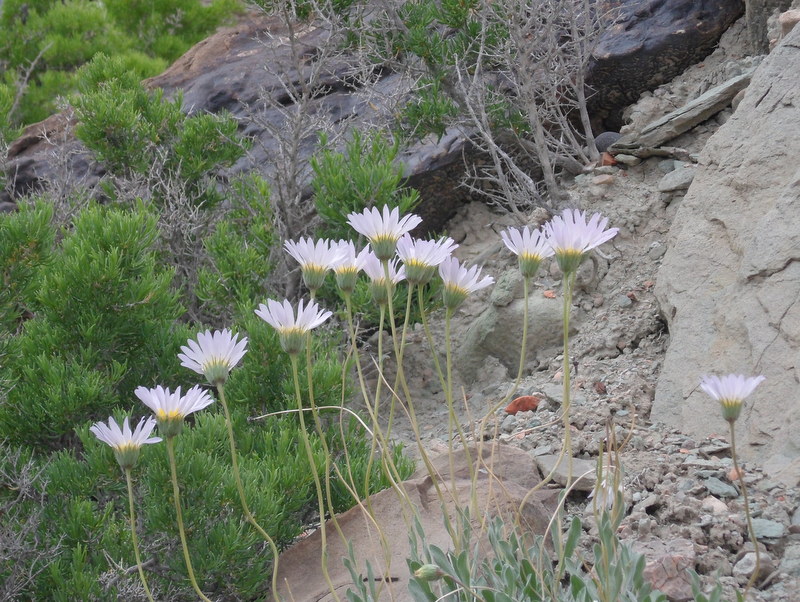
along the trail

Moab, Utah Day 2

We drove 65 miles, taking the Le Sal Loop Road from Moab up towards the Le Sal Mountains to an elevation of 8300 feet.

 These first two pictures are for you, Laura Beth


This one and the next two, show the view from Castle Valley, a small town along the loop road. Location, location, location.


View down to Castle Valley from up on the mountain.

Time to head back down.


Moab, Utah Day 1

These photos were taken along route 279 near Moab, Utah.

 desert varnish


looking up in between the rocks 

 our car for perspective